Boulder Mountain Bike Trail Guide
Boulder is a city well known for outdoor recreation, and the mountain biking close to the city is a big part of that reputation. Mountain bikers can pedal up the many canyons just west of Boulder and be on any number of fun trails, or hop in the car to access more great singletrack. The Boulder mountain bike trails offer a ton of fun cross country riding, with nice rolling climbs and descents. One of the coolest parts about mountain biking in Boulder is the ability to explore the vast networks of dirt roads and singletrack west of the city and up into the foothills, with tons of possibilities for huge rides.
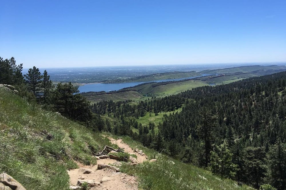
Betasso. Photo: @beckybatizy

Betasso. Photo: @beckybatizy
Our Favorite Mountain Bike Gear for Boulder
Boulder
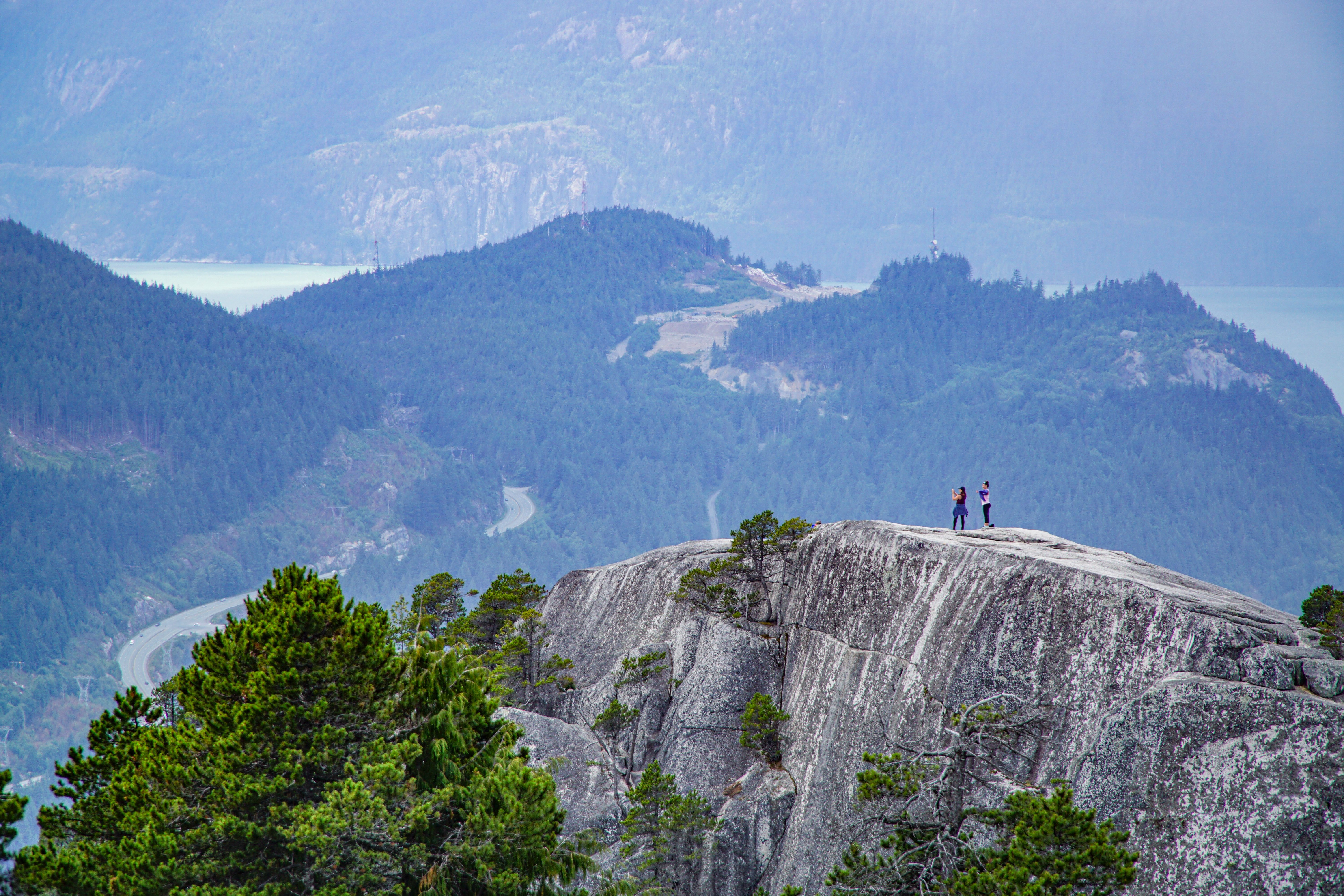
Walker Ranch Loop
Advanced | 7.8 Miles | 1,510' Climb/Descent
TWalker Ranch is a staple of Boulder mountain biking with its nice views and good singletrack. It is a fairly difficult trail with some rocky sections, a little bit of hike-a-bike, and some solid climbs. The Walker Ranch Loop is commonly ridden in both directions, and is fun either way. In general, the counter clockwise loop features smooth descents and technical climbs, while clockwise features technical descents with smooth climbs.Directions: Walker Ranch is located off of Flagstaff road, about a 20 minute drive from Downtown Boulder. From downtown, take 9th Street south to Baseline Road, which will turn into Flagstaff Road. This is a super pretty drive on its own, with the reward of great riding!
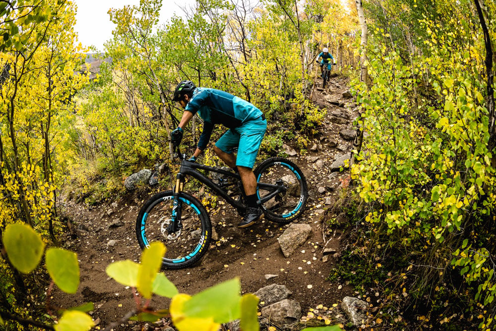
Betasso Preserve
Intermediate | 7.4 Miles | 829' Climb/Descent
Betasso is a really fun mountain biking area just outside of Boulder, many riders will ride straight from town, but there is parking available, too. There are two loops, the Canyon Loop and Benjamin loop, each of which are one-way trails on a bike. In general, there is nice singletrack with smooth rolling climbs and descents. The Benjamin Loop is more difficult that the Canyon Loop. The Betasso Link trail makes the area accessible from Boulder Canyon, too. Mountain bikes are not allowed on these trails on Wednesdays and Saturdays.Directions:
From Boulder, take Boulder Canyon Drive to Sugarloaf Road, then turn right onto Betasso Road. Riding from Boulder, take the paved Boulder Creek Path to the Betasso Link Trail, which meets up with the rest of the Betasso trails.
Marshall Mesa
Beginner, Intermediate| 12+ Miles | 975' Climb/Descent
Marshall Mesa in South Boulder, has nice cross country singletrack that is more smooth than the trails up in the foothills, with a couple technical exceptions. This makes it a more beginner friendly trail. The commonly ridden Marshall Mesa liip is 12.6 miles, however, there are options to add mileage, or take a different route. Once the trails cross over Highway 93, they get more fun with the Spring Brook Loop and Doudy Draw being the favorites. Springbrook Loop rides best clockwise. The Community Ditch trail returns the loop to the Marshall Mesa Trailhead after Dowdy Draw.Directions:
The trailhead for the Marshall Mesa mountain bike trails is located just south of Boulder on Highway 93. Broadway street in Boulder turns into 93. The trailhead is 5 miles out of town at the intersection with Marshall Road.
Valmont Bike Park
Beginner-Expert | 15 Trails | Slopestyle, Dirt Jump, Dual Slalom, XC
The 42 acre Valmont Bike Park has an awesome selection of jumps, freeride trails and tons of fun mountain bike trails. Located in east Boulder, there are a couple cross country style trails, skill building areas, and dirt jumps. The Valmont Bike Park has slopestyle lines in varying difficulties as well as dirt jump lines, and two pump tracks. Video: Nate Hills
Nederland
Just up a canyon from Boulder, the town of Nederland has an awesome network of mountain bike trails, too, with miles of singletrack weaving through the mountains. There are even ways to get all the way back down the canyon to Boulder without taking the Boulder Canyon road. The public RTD bus runs from downtown Boulder to Nederland, which is a great way to access these trails.West Magnolia
20+ Trails | 30+ miles | Beginner, Intermediate, Advanced
The West Magnolia, or West Mag, trails are some of the best mountain bike trails in Nederland. They form a messy web of singletrack that’s super fun to explore. Navigating can be a bit frustrating, as trails can unexpectedly end on dirt roads or campsites, but there is certainly good flow to be found. Make sure to try and find the abandoned old “Magic School Bus,” on the School Bus trails. This is also one of the most fun trails in the West Magnolia mountain bike trail system. Look here for a nice West Magnolia ride.Directions to the West Magnolia Mountain Bike Trails:
From the town of Nederland, continues south on Highway 119, the Peak to Peak Highway, for about 2 miles until the intersection with Magnolia road. There is a parking area here. Pedalling from the Nederland RTD Park-n-Ride, it is 2 miles and 427' of climbing on the paved highway to get to the trails. Driving from Boulder, it takes about 30 minutes to get to the West Magnolia trails.
Caribou Flats
Intermediate | 5.3 Miles | 1,572' Descent
The Caribou Flats trail drops from the ghost town of Caribou to the small town of Eldora. The trail makes a nice loop along with the Caribou Road for about a 13 mile loop from Nederland with 1,700’ of climbing. Caribou Flats is an old road that is now closed to motorized vehicles and reclaimed as singletrack. The descent is fun, fast, and technical. The dirt Caribou Road can be ridden 6.7 miles past the start of Caribou flats to access the Sourdough Trailhead, with access to more riding.Directions:
Caribou Flats is accessed via Caribou Road, which begins in the town of Nederland. The road can either be ridden, or driven. The parking area will be about 5.5 miles up the road on the left. Caribou Flats Trail ends in the town of Eldora. Taking the paved Eldora Road will lead back into Nederland.
Lyons
There are two main riding areas just outside of Lyons, a small town northwest of Boulder. Heil and Hall Ranches offer some of Boulder's Best mountain biking, and great long rides.Heil Valley Ranch
Intermediate | 8 Miles | 5 Trails
Heil Valley Ranch has about 14 miles of total trails that are mostly rocky intermediate singletrack. The Picture Rock and Wild Turkey trails are definitely the highlights, with the Picture Rock descent having some of the best flow in Boulder.Directions:
To get to the main Heil Valley Ranch trailhead, head north on Highway 36 out of Boulder then take a left on Lefthand Canyon Drive near the Greenbriar Inn, then right on Geer Canyon Drive. The trailhead is about 2 miles off of Highway 36.
Video: Colorado Biking
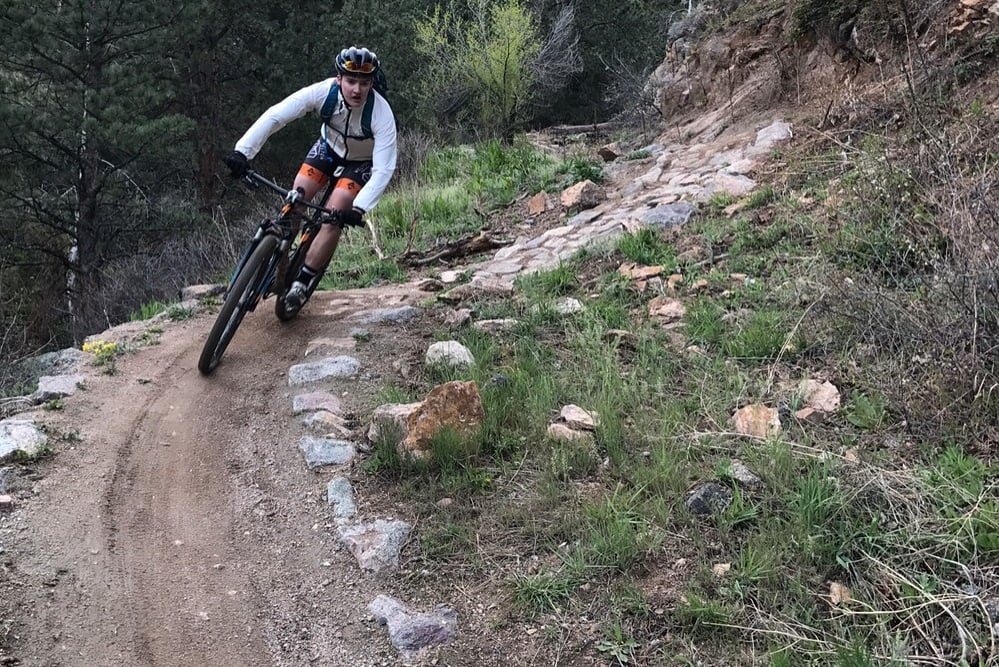
Hall Ranch
Intermediate | 2.1 Miles | 583' Climb | 520' Descent | 00:20:54 avg time
Northwest Timber Trail runs from the parking lot past the exit of the joyride trail. Many people ride this trail as the last leg to the car after descending Joyride. It also accesses the newest Legend and Easy Tiger Trails. Despite its intermediate rating most of the trail is smooth and approachable for beginners. Advanced riders will enjoy opening up the speed on the smooth sections, too.Directions to Hall Ranch:
To get to the Hall Ranch mountain bike trails from Boulder first head north on Highway 36 to Lyons. Once the road hits a “T” at the end of town, turn left for the Hall Ranch Trailhead 2 miles down the road. The Picture Rock Trailhead is also this direction. To get to the easier Antelope Trail parking area, take a right at the T and continue to Apple Valley Road, the trailhead is at the end of this road.
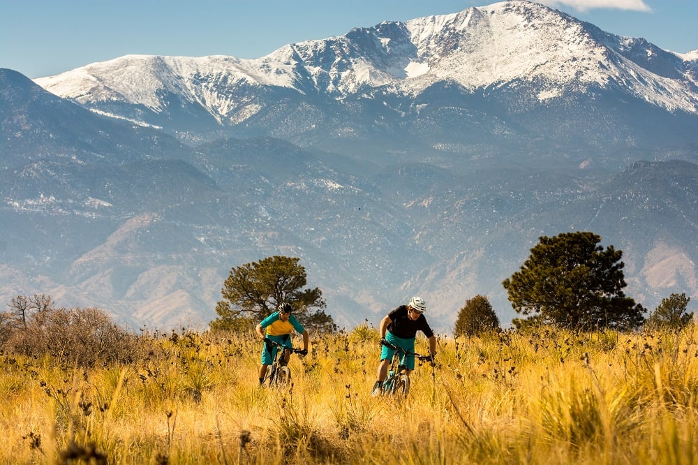
Our Favorite Bikes for Boulder
Rental and demo bikes are available at evo Seattle, evo Portland, evo Denver, evo Whistler, evo Salt Lake, and evo Snoqualmie Pass. (Note: The cost of up to three bike demos can be applied toward the final cost of purchasing a new or used bike from us.)
Like most trails in the front range, the mountain bike trails near Boulder are rideable all year long, depending on the recent weather. The trails near Nederland are the exception due to their high altitude they hold snow in the winter. Winter snow, clouds, and cold temperatures will keep the trails muddy for longer. It’s recommended to stay off these trails for at least a couple days of warm sunshine to dry out after snow or rain. Many of these trails are popular with hikers, so make sure to be courteous of other trail users.